Drone Detection - Tracking Drones with 5G Technology
Basically, researchers found a way to use 5G towers to track drones instead of expensive radar systems.
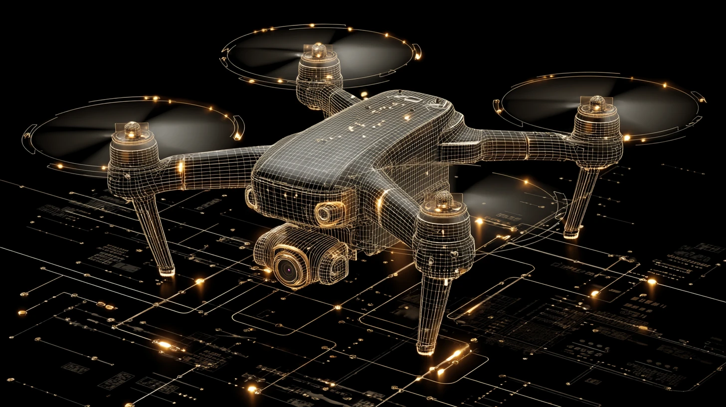
A new system called BSense uses 5G-A base stations to track drones in urban areas. This innovative approach reduces costs and improves detection accuracy. As drone usage rises, this technology could enhance airspace security significantly.
What Happened
In a groundbreaking study, researchers from the University of Science and Technology of China have introduced BSense, a novel drone detection system that utilizes existing 5G-Advanced (5G-A) base stations. Traditional drone detection methods, such as dedicated radar installations, are often too expensive for large-scale implementation. Cameras and LiDAR systems also face limitations, particularly in low-light conditions. BSense aims to address these challenges by leveraging the capabilities of 5G-A technology already deployed in urban areas.
How It Works
BSense operates using a Huawei 5G-A base station located in Shanghai, which functions at a frequency of 4.9 GHz. The system can cover a sensing area of up to 1,000 meters with a high precision of over 96% across various flight paths. The detection process involves three key stages:
- Noise Filtering: The system first identifies and removes background noise by modeling it as a multivariate Gaussian distribution.
- Motion Checks: It then applies motion-based checks to ensure that detected points correspond to actual drone movements.
- Trajectory Classification: Finally, a lightweight Transformer-based neural network, called TrajFormer, classifies the drone's trajectory, significantly reducing false detections.
Who's Being Targeted
The primary targets for BSense are urban environments where drone usage is rapidly increasing. This technology is particularly relevant for monitoring airspace around critical infrastructure, such as airports, government buildings, and large public events, where unauthorized drone activity poses security risks.
Signs of Success
The tests conducted showed that BSense could accurately track drones across various flight paths, including complex maneuvers. The mean localization error was approximately 4.9 meters, even at distances up to 1,000 meters. In scenarios where two drones flew simultaneously, BSense successfully distinguished between them without confusion.
Limitations
Despite its successes, BSense does have limitations. For instance, it can produce trajectory gaps during complex flight paths, particularly when buildings obstruct signals. Additionally, the system's performance may decline at ranges beyond 700 meters, where localization errors increase. The researchers also noted that the system has not yet been tested against drones operated with the intent to evade detection.
The Wider Picture
As 5G-A technology continues to roll out, the integration of drone detection capabilities into existing infrastructure could revolutionize urban airspace security. BSense represents a significant step forward, demonstrating that the same base stations providing mobile connectivity can also serve as passive sensors. This raises important questions about the potential applications of such technology and the governance of the data collected.
In conclusion, BSense not only showcases the innovative use of 5G technology for drone detection but also opens the door to further exploration of what else this infrastructure can monitor in urban environments.